Hiking through Il-Majjistral Nature & History Park
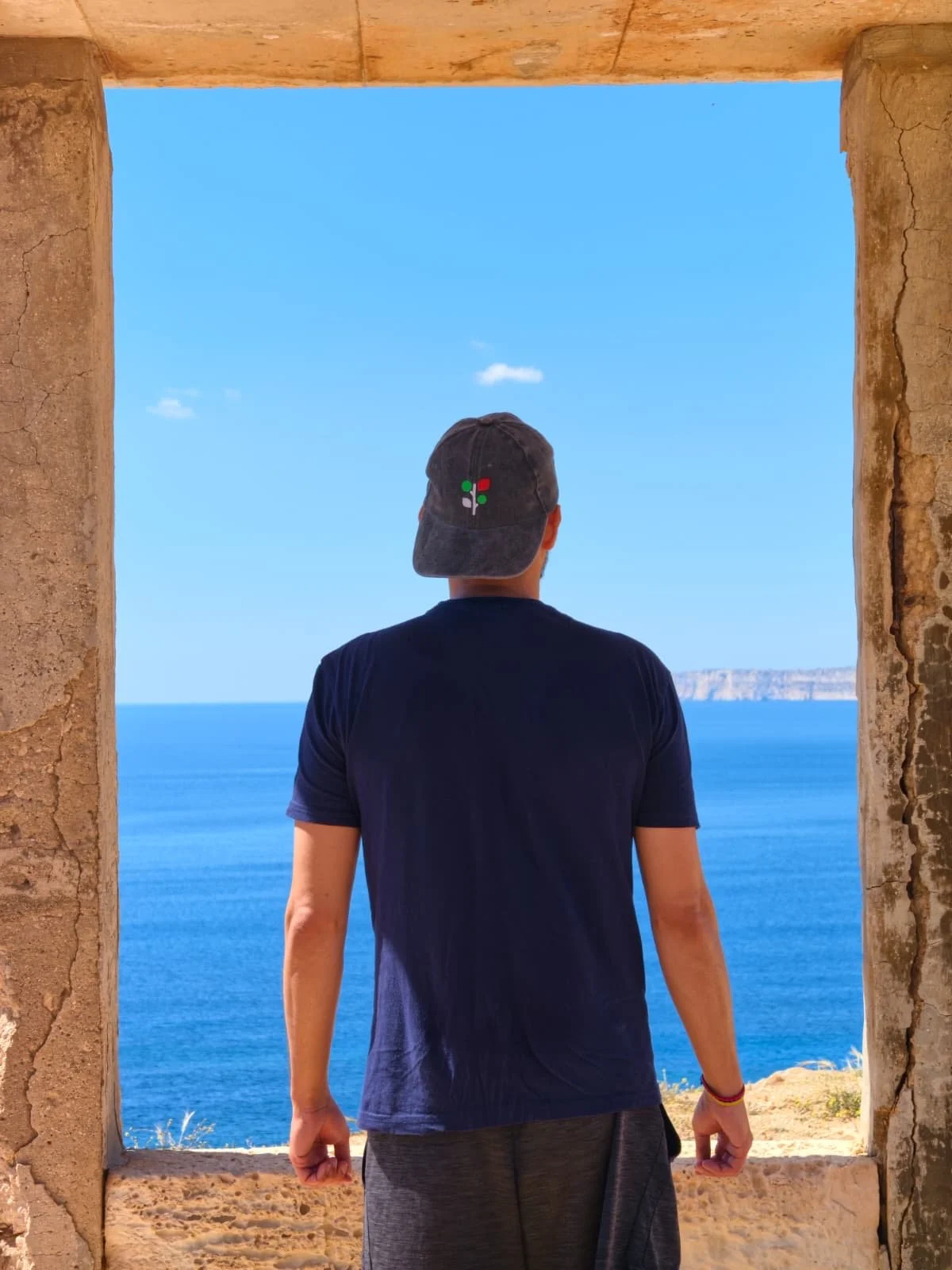
Watching the sea through a frame
In short: Hiking through Il-Majjistral Nature & History Park
Is it worth it?
Yes — this is my favourite clifftop hike on the Western coast. Turquoise bays, a WWII lookout and almost no other hikers.
The basics:
~6km, 4 hours. Starts at Għajn Tuffieħa (Riviera Beach), ends at Popeye Village. Mostly flat with a few rocky, uneven bits. Passes Golden Bay, Ras il-Wahx and leads through Il-Majjistral Nature Park.
Reality check:
There is almost no shade for the entire route. Bring more water than you think you need. Wear proper shoes, not sandals.
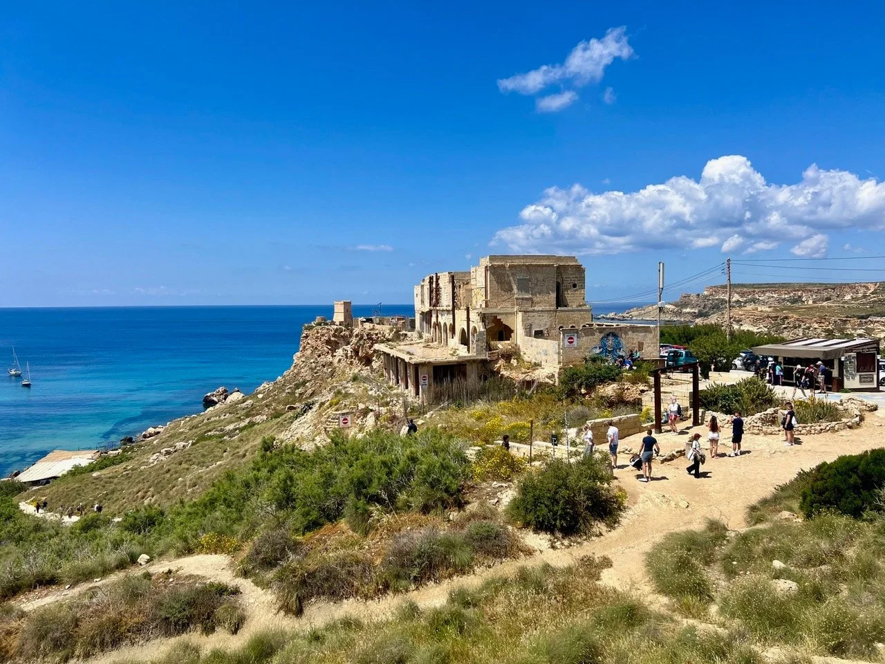
View from the Għajn Tuffieħa hilltop
We took a Bolt to Għajn Tuffieħa and had our usual cappuccino at Coffee Circus. Of course we walked uphill for the stunning view over Riviera Beach that keeps fascinating us.
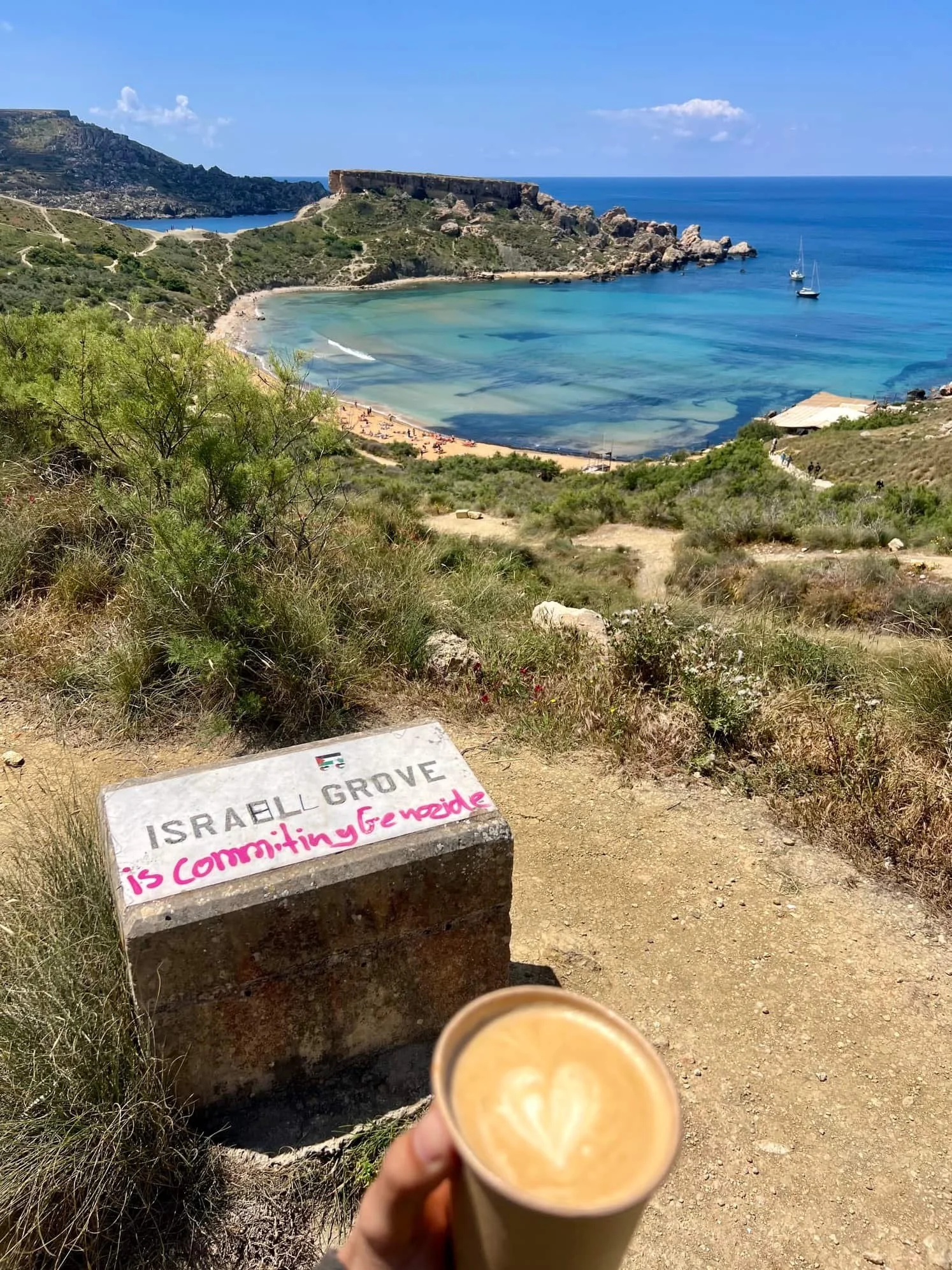
“Israel is comitting genocide” — Malta’s political stance painted on a route marker
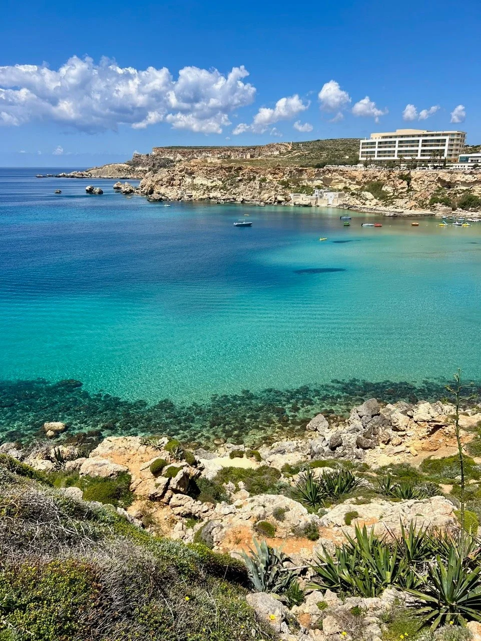
View towards Golden Bay
From Għajn Tuffieħa (Riviera Beach) we walked the short coastal path that connects with Golden Bay.
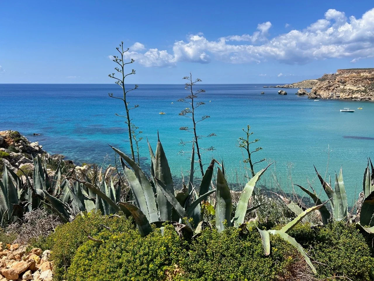
Algave plants at Golden Bay
We then walked the full length of the beach towards the Radisson hotel end. Since we were hiking at midday and the sun’s been grilling us, we stopped at Apple's Eye Restaurant for a cold drink and some AC.
Before the Radisson Blue Hotel, a marked path leads into Il-Majjistral Nature Park. You walk on a dusty dirt path in the shade of the trees and the hotel wall until you reach the open plateau. From there you are out in the sun the whole time.
Ras il-Wahx
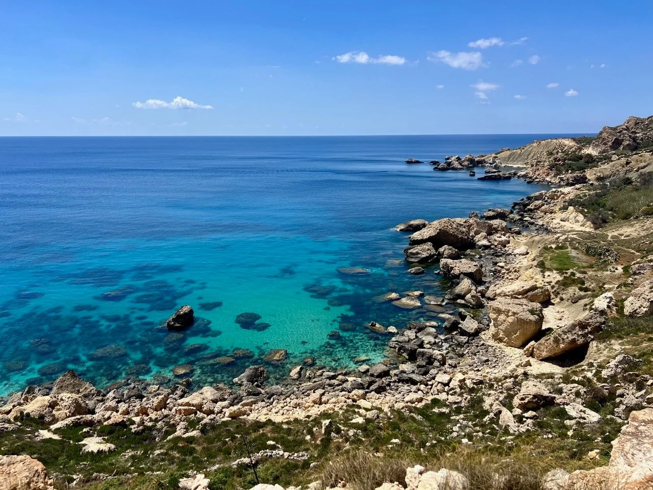
Bay with turquoise water near Ras il-Wahx
While walking along the clifftops we spotted a path that was cut into a giant limestone rock and led to a beautiful bay. The water is crystal clear and we swam between the rocks. Bring your snorkeling glasses!
But note that the climb down to the bay is pretty steep and we wouldn’t recommend it to older hikers.
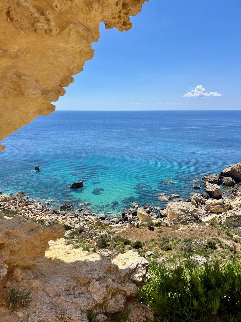
Rocks and turquoise waters
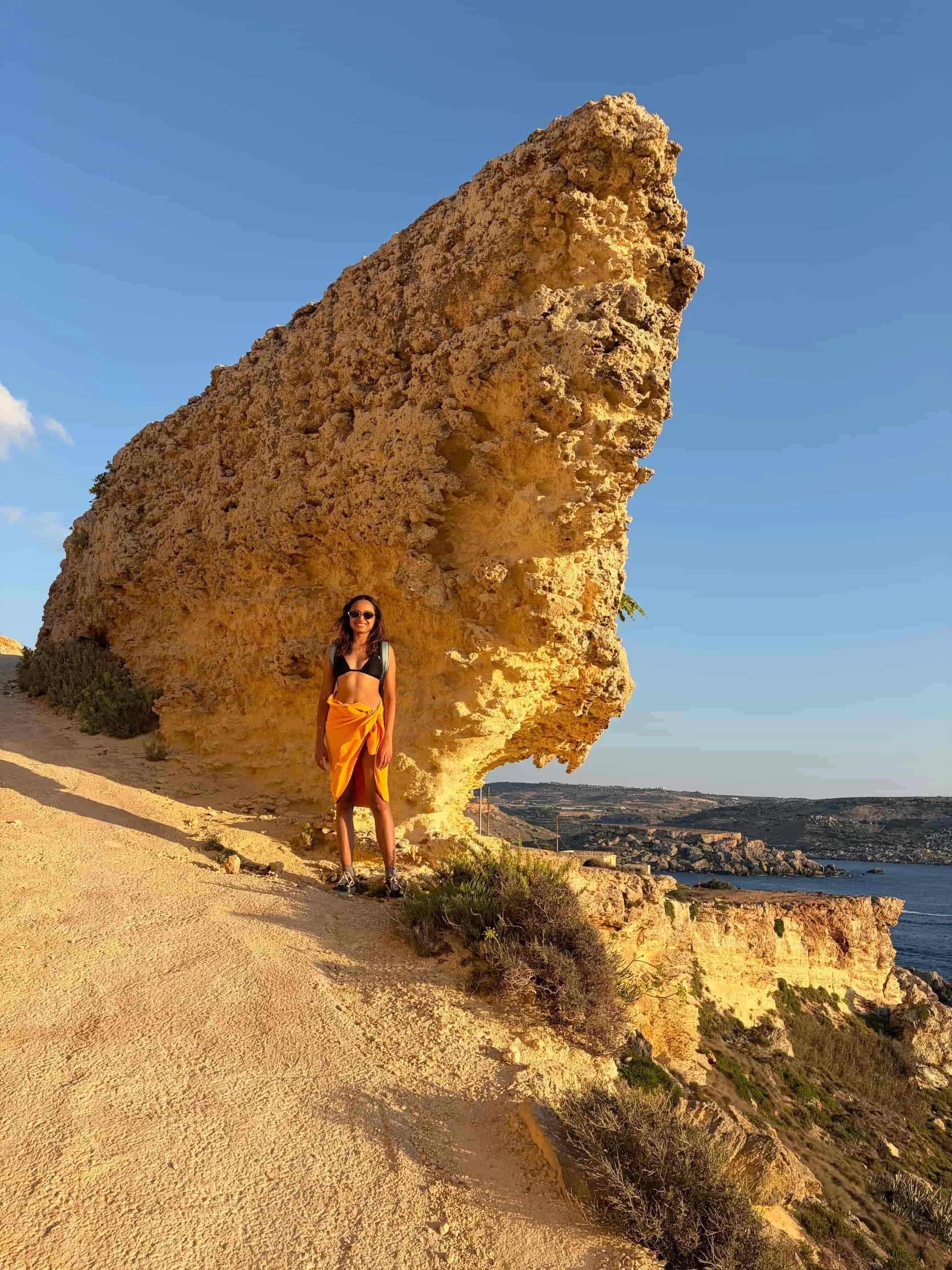
Giant, man and wind-carved limestone rock
Back on top the terrain gets rocky and sharp. Google Maps marks this peninsula as Ras il-Wahx. But probably the bay that we swam in is already part of it.
At the highest point of the plateau we found an old World War II observation post built into the rock. We took a break from the heat here. You can see the ocean from within the post.
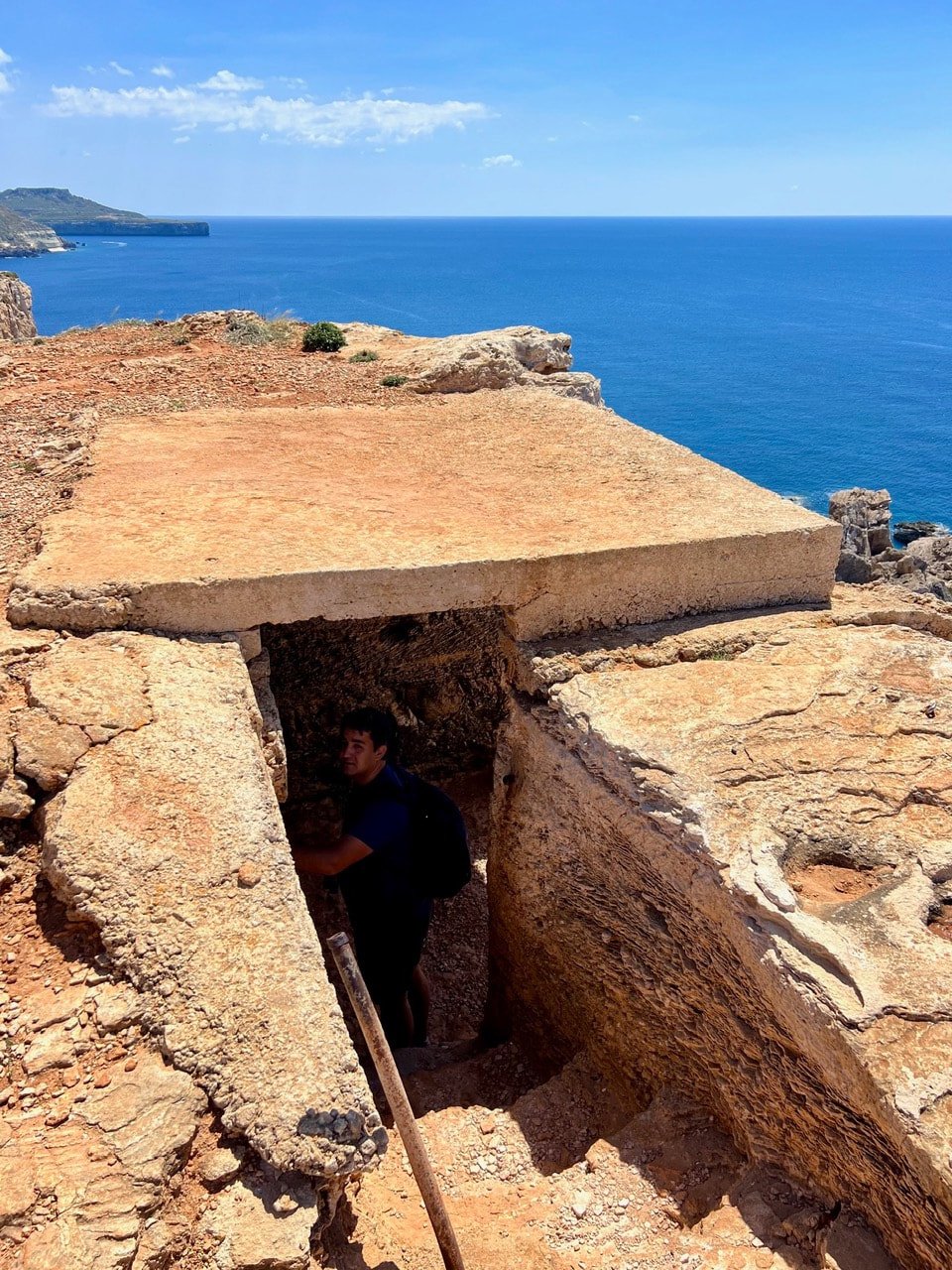
Observation post from World War II
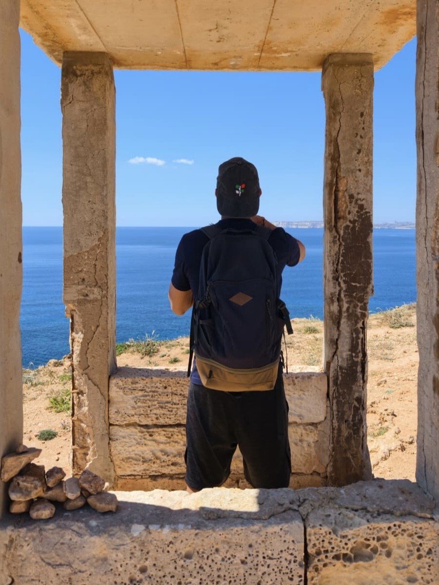
Tiny house in the middle of nowhere
Further along we found an old limestone/cement structure with just pillars and a roof left. We loved it and took these unreal shots that look like the sea would appear in a frame.
We then passed by Għajn Żnuber Tower and took a little nap in the shade.
The last part towards Popeye Village goes along a quiet road with almost no traffic. We barely saw anyone except a few tourists struggling to push heavy e-bikes up the very uneven and steep path.
Earlier on the way we have seen a group horseback riding, a much better idea if you don’t want to hike through the park.
Popeye Village
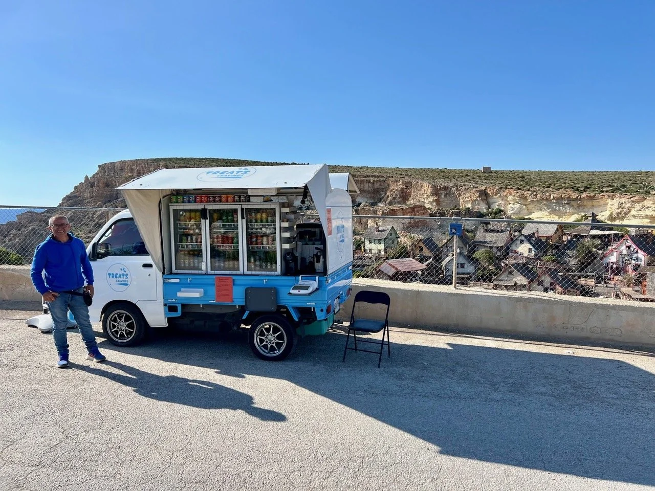
Refreshment stop at Anchor Bay
Eventually we reached Anchor Bay and got a cold drink from “Treats and Cravings”, a van by the road. From up top you get a great view of the colourful Popeye Village film set.
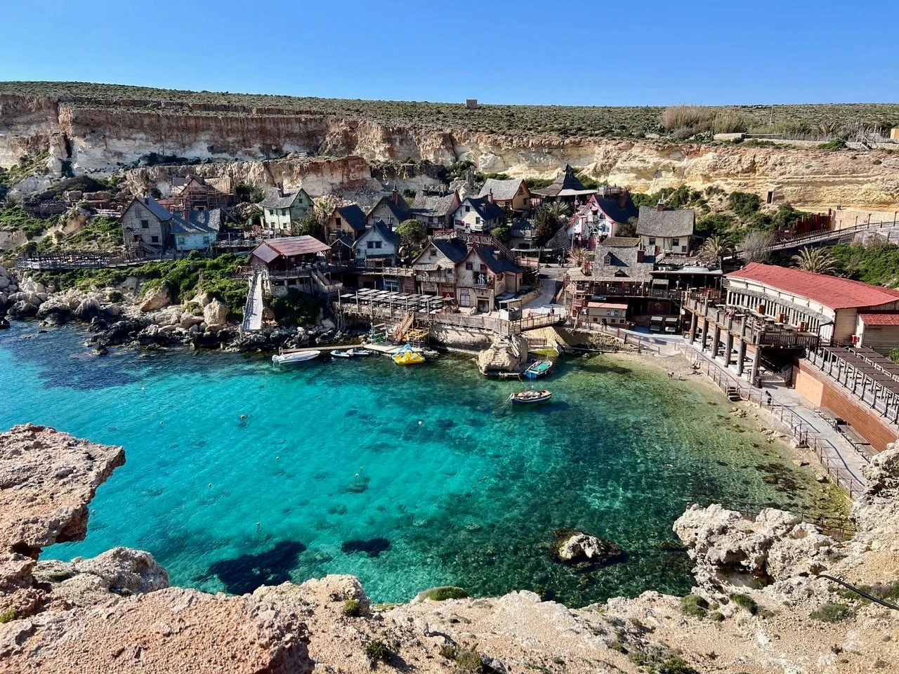
Iconic Popeye Village film set
Down at the water an old concrete pier splits the turquoise water of the bay from the deeper and open blue sea. Some people used the pier to sunbath and swim.
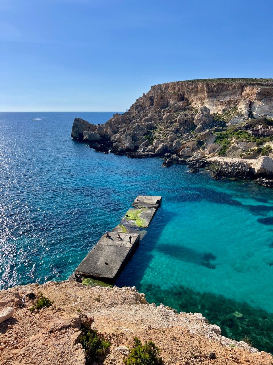
Swimmers on a broken concrete pier
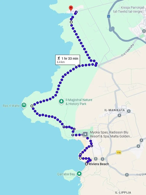
Hiking route from Għajn Tuffieħa (Riviera Beach) to Popeye Village
We skipped going inside Popeye Village because it is a little touristy for us, especially in summer.
Even though Google Maps indicates an optimistic 1.5 hours, the whole hike (with all the breaks) has actually taken us 4 hours.
We were lucky and just caught bus number 101 from here to Mellieha. From Mellieha you have different bus options, including bus number X300 that takes you to Gzira with just a few stops on the way.
Follow us on Instagram!
Author: Bjorn


We were looking for a hike off the tourist crowds in August and discovered this short coastal walk from Mgarr Harbour to Hondoq Bay.